
Blog
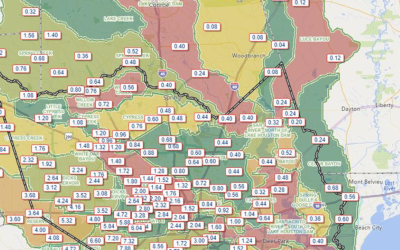
Why Tropical Storm Beryl Taught Us That Forecasting Rain Is One of the Hardest Parts of Tropical Weather
When a tropical system approaches Southeast Texas, one of the first questions everyone asks is: "How much rain am I going to get?" While that seems like a simple question, it is often one of the most difficult forecasts meteorologists have to make. Tropical Storm...
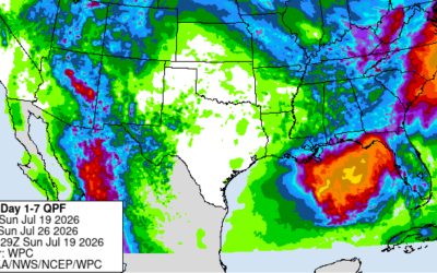
Tropical Update: Gulf Disturbance Continues to Slowly Organize July 19, 2026 A broad area of low pressure remains over the eastern Gulf of America this morning, with satellite imagery and coastal radar from the Tampa area showing an upper-level low and accompanying...
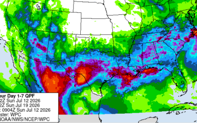
Southeast Texas Weather Pattern Turns Wet
After a stretch of hot and relatively dry weather across Southeast Texas, the forecast is taking a noticeable turn toward a much wetter pattern. Beginning Sunday through midweek—rain and thunderstorm chances will increase as tropical moisture returns to the region....
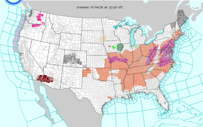
Fourth of July Heat Safety: Celebrate Safely Across Texas
The Fourth of July is one of the busiest outdoor holidays of the year across Texas, but this year the weather is adding an extra challenge. Heat Advisories are now in effect for portions of the state as dangerously hot temperatures combine with high humidity to...
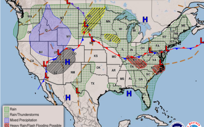
🌤️ Southeast Texas Weather Outlook: A Hot Start, Then Increasing Rain Chances
Southeast Texas will experience a typical early summer weather pattern this week, beginning with hot and humid conditions before rain chances increase during the middle and latter part of the week. Hot and Humid Early Week Monday and Tuesday will feature afternoon...

Wet Bulb Temperature: What is it and why is it important?
When discussing summer heat, most people focus on the air temperature. However, another measurement called wet bulb temperature can provide a better understanding of how dangerous the heat really is. Wet bulb temperature combines both air temperature and humidity into...
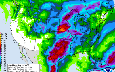
Southeast Texas Weekly Weather Outlook
Southeast Texas Weekly Weather Outlook Southeast Texas is heading into another active late-spring weather pattern this week, with warm temperatures, rising humidity, and multiple chances for showers and thunderstorms. While we’re not expecting a complete washout every...
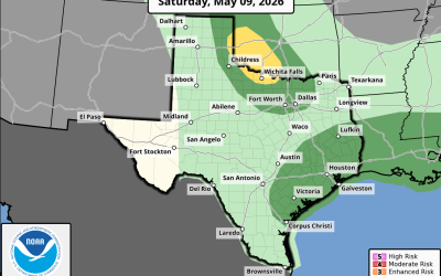
Scattered showers and thunderstorms through the weekend
Fairly complicated forecast over the next few days with an upper level trough moving across the state, a weak surface front lingering offshore into the area, and weak disturbances moving across the region. This all points to chances for showers and thunderstorms at...

Severe Weather and Flood Briefing
Stormy start to the day across Southeast Texas 🌧️ Heavy rain is ongoing mainly north of US-59, and a Flood Watch is in effect today. We’re already seeing street flooding and rising water levels on creeks and bayous, especially north and northwest of the Houston area....