
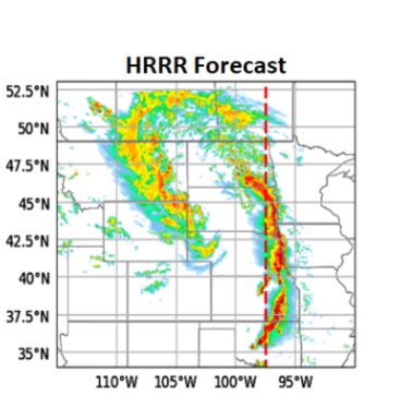
If you follow weather forecasts, you’ve probably heard us mention the HRRR. So, what is it?
The High-Resolution Rapid Refresh (HRRR) is a high-resolution weather model designed to provide detailed forecasts, especially for the next several hours to roughly the next day. It updates frequently and uses very fine grid spacing, allowing it to capture smaller-scale features like thunderstorms, boundaries, heavy rain, and wind shifts.
🌩️ Why do we use it so much?
For Southeast Texas, the HRRR can be particularly useful for short-term storm timing, rainfall trends, severe weather potential, and changes happening on a local scale.
But here’s the important part: No single weather model has all the answers.
Models are simulations of the atmosphere—not crystal balls. The HRRR can sometimes overdo or miss storms, shift timing, or struggle with how individual thunderstorms develop. That’s why forecasters compare the HRRR with other models, radar, satellite observations, surface data, and the latest atmospheric trends.
🎯 Weather Insight: Think of the HRRR as one very useful tool in the toolbox—not the entire toolbox.
The best forecasts come from looking at the big picture and seeing where multiple sources of data agree.
#WeatherInsights #HRRR #WeatherModel #Forecasting #Meteorology #TexasWeather #SoutheastTexas #HoustonWeather #StormTracking #WeatherEducation