Another arctic air intrusion increasingly likely late this weekend.
A threat for sub-freezing temperatures (possible hard freezes)
Precipitation possible in the cold air early next week
Cold Air:
Guidance has been coming into slightly better agreement that cold air currently located over northern Siberia will be directed across the north pole and into northwest Canada late this week. Current temperatures in the source region in northern Siberia are in the -40F to -50F range. Strong surface high pressure (1050mb+) develops over NW Canda late this week and slides toward the Montana and North Dakota border region by this weekend with a strong arctic air mass surging down the plains. Initial air mass looks to arrive into Texas on Saturday…reaching our area Saturday afternoon with a significant temperature gradient along the front with temperatures in the 60’s and 70’s ahead of the boundary falling into the 40’s and 50’s behind the boundary. A secondary surge of colder air looks to arrive late Sunday and this will likely drive the freezing line quickly into the area with temperatures falling into the 20’s and 30’s by Monday morning. Given the intensity of the high pressure crossing into the US…may need to trend temperatures down some for late Sunday into Monday…but would like to see a bit better consistency in the guidance before following that trend. Hard freezes (24 or lower for 2 hours or more) look possible over portions of the area by Monday and Tuesday mornings. Overall the setup looks at least a few degrees colder than last week and could be more…it is uncertain at this time range how cold temperatures may get locally. It is also hard to tell if we will recover much during the day…if clouds and precipitation are in place the potential for daytime highs only in the low to mid 30’s will be possible…if it is more sunny highs will reach into the 40’s.
Precipitation:
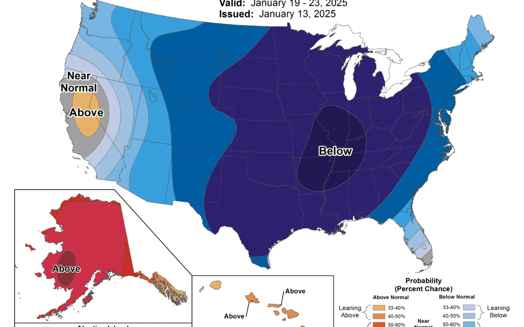
Once the cold air is in place there is some potential for a mid level shortwave trough to move across the southern portions of the state in the Mon-Tues period with a coastal low forming off the lower TX coast. Overall pattern looks colder and further south than the coastal low last week which will bring a possible threat of frozen/freezing precipitation to the area during this period. Deterministic guidance is widely varying, but the ECMWF, GFS, and CMC ensembles all show at least some potential for a wintery mix of precipitation, a cold rain, or just plain dry for the area during this period. A brief look at forecast temperature profiles support various precipitation types and changes through the period. Since we are still talking 6-7 days out…this is very much a portion of the forecast that will almost certainly see various changes over the next few days.
Monitor forecasts closely through the week and be prepared to take winter weather precautions and winterization efforts by this weekend.
