Significant hurricane event increasingly likely for the eastern Gulf of Mexico late this week.
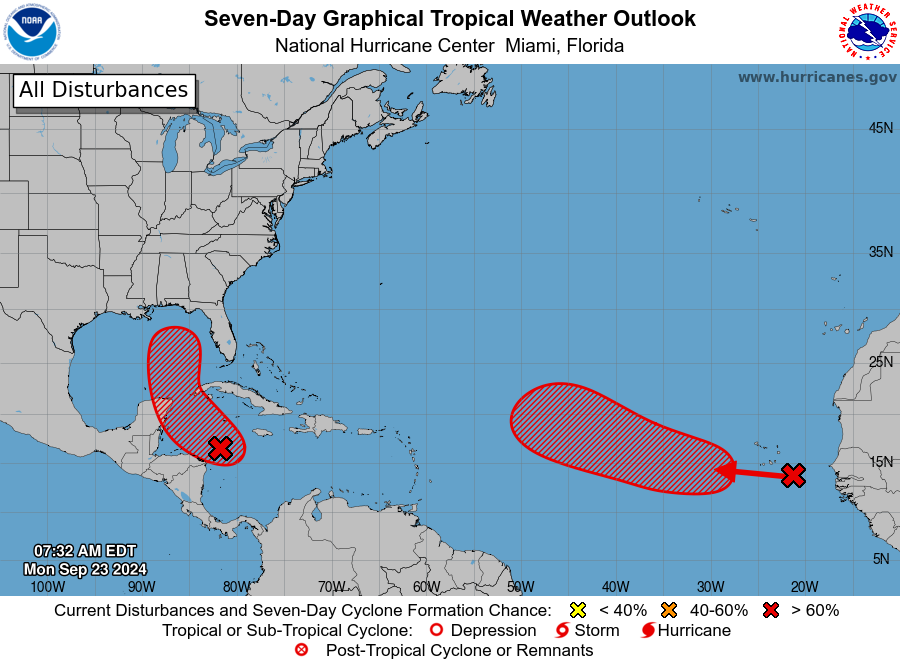
An area of disturbed weather in the western Caribbean Sea continues to become better organized with bursts of deep convection in/near a broad center of circulation. A USAF aircraft is planned to investigate this area later today to determine is a tropical depression has formed.
Track:
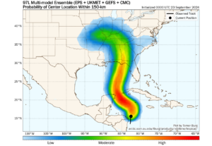
97L will move in the general direction of western Cuba and the Yucatan channel over the next 24-36 hours before turning northward and increasing in forward speed late Tuesday into Wednesday. A ridge of high pressure to the east of FL and a developing cut-off upper level low over the southern plains or MS valley will steer 97L northward over the eastern Gulf of Mexico and bring the system inland over a portion of the FL panhandle, the FL Big Bend area, or the west coast of FL as early as Thursday. There is little spread in the major model guidance although some shifting around of the track remains possible due to the early formative nature of the system currently. Once 97L enters the Gulf of Mexico the system will quickly approach the US Gulf coast with a shorter than usual window for preparations.

Consensus of the major model guidance and trend
Intensity:
97L is in generally favorable conditions for intensification while it passes over extremely warm sea surface temperatures of the western Caribbean Sea in favorable upper level conditions (maybe some light upper level shear). As 97L lifts northward over the eastern Gulf of Mexico, conditions look prime for significant intensification with the system passing over extremely warm waters, good upper level outflow with the interaction with the trough to its northwest, and a pool of high moisture levels. The hurricane intensity models have come in highly aggressive with nearly all making this system a category 4 hurricane on its approach to the FL coast. Will side with the higher end guidance given the favorable signal and similar conditions to what resulted in the significant intensification of both Michael (2018) and Ian (2022). A significant and potentially high end hurricane event is increasingly likely for portions of FL late this week.

Intensity guidance


