Scattered strong to severe thunderstorms will be possible from late morning to early evening today.
Strong mid level low pressure system over northwest Texas will progress eastward with surface low pressure forming over north Texas shortly. Over southeast Texas a warm and humid air mass is developing northward from the Gulf of Mexico with the potential for mid to upper 60 degree dewpoints to move into the area during the afternoon hours. Current dewpoints in the upper 60’s to near 70 around Matagorda Bay will advance inland this morning. Overall dense overcast should prevent much heating today and this may be the difference between today and Tuesday where morning sun allow the air mass to destabilize…however with colder air arriving in the mid level of the atmosphere later this morning into the afternoon this will increase the instability of the air mass. High resolution guidance shows the formation of discrete cells across the warm sector air mass late this morning into the afternoon hours most notably along and east of a line from Freeport to College Station. Low level shear values are maximized near and to the northeast/east of the Houston metro area where some of these developing cells may have a better tornado threat (Harris, Chambers, Liberty, Polk, Trinity, and San Jacinto Counties).
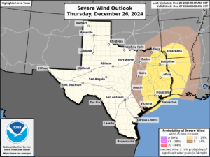
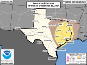
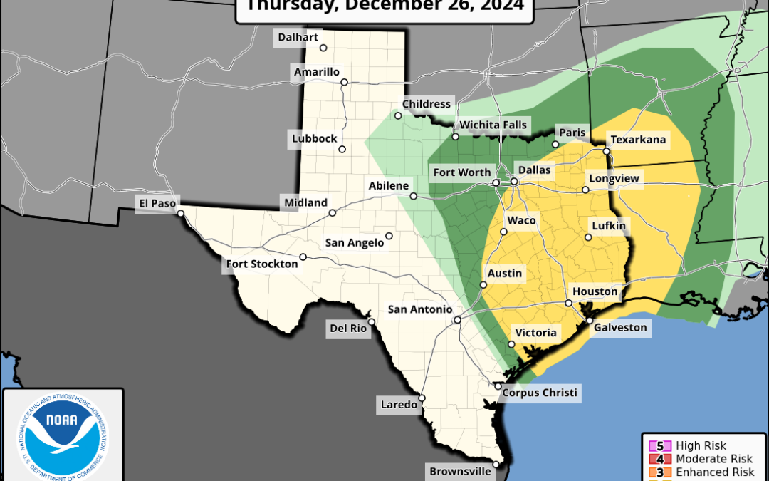
The Storm Prediction Center (SPC) has maintained the slight (level 2 out of 5) risk for severe weather today with all modes in play (large hail, damaging winds, and isolated tornadoes). Best tornado and hail threat will reside early to mid afternoon in any discrete cells before transitioning toward a damaging wind threat late afternoon into the evening as the storm mode generally transitions from individual cells to more linear in nature. Activity will end by mid to late evening along the coast.
Additionally, heavy rainfall will be possible today with high moisture levels in place combined with strong lift and potential for cell training over the area. Some of this was noted on Tuesday with storms providing 2-4 inches of rainfall in some areas. Similar setup will be in place today where training supercells could drop 1-3 inches of rainfall in a short period of time. Best chances for this look to be east of the I-45 corridor in the area where cells look to mature into a larger footprint of heavy rainfall. Street flooding will be possible as noted on Tuesday under the heavier rainfall cores.


