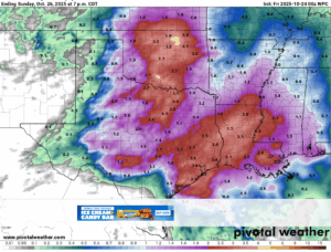
- Much needed rainfall for the area today-Saturday evening
- Some severe weather will be possible on Saturday with two rounds of storms
- Isolated street flooding, no bayou or creek flooding expected
Upper level storm system that will bring the most active period of weather in a while to the area is over the four corners this morning moving east. Upper level sub-tropical jet stream across Texas along with increasing moisture off the western Gulf will begin to provide the area with a chance of showers and thunderstorms. Late this afternoon a complex of thunderstorms will evolve over western Texas and move eastward likely arriving across our area before and around sunrise on Saturday. This line of storms continues to look progressive in the higher resolution guidance and pushes toward the coast by mid to late morning. Gusty winds will be possible with this line with some of the high resolution guidance showing some bowing segments along with an isolated tornado. A second round of storms then looks to develop Saturday afternoon across the Brazos Valley associated with the weak front and upper level low aloft and push southeast across the area during the evening hours. Again a lower end severe threat with all modes possible with this activity from mid to late afternoon well into the evening hours on Saturday as the activity moves from northeast to southeast across the area.
Severe:
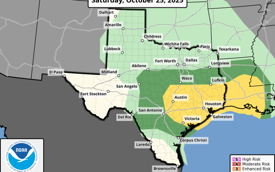
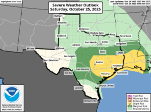
SPC has upgraded much of the area in a “slight” risk for severe weather or level 2 out of 5 for Saturday and both rounds of storms on Saturday have the potential to produce some severe weather. The morning round looks more damaging winds with bowing line segments and an isolated tornado while the afternoon and evening round will feature all threats although large hail may be slightly higher given cooling air aloft. Widespread severe thunderstorms are not currently expected, and there is some question as the amount of air mass recovery behind the morning round impacting the second evening round development and severity.
