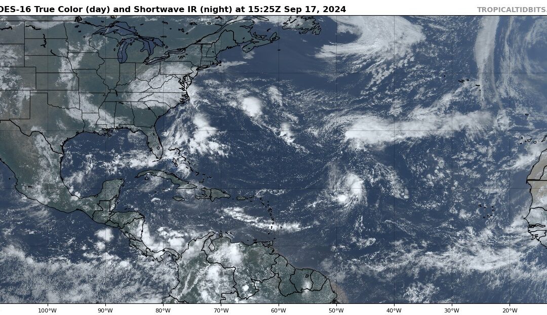
Tropical depression Gordon has degenerated into a trough of low pressure over the Central Atlantic this morning and the National Hurricane Center has issued its final advisory on the system.
Attention is starting to turn toward the western Caribbean Sea where there is growing potential for surface low pressure to form in the next 5-7 days as a broad Central American Gyre (CAG) develops. These large troughs of low pressure are common over Central America during the early part of the hurricane Season (June) and again toward the later parts of the season (October) and can produce tropical systems on either the Atlantic or the Pacific side of Central America. Global guidance ensemble support from both the GFS and ECMWF shows a growing consensus that low pressure will develop within the eastern side of the CAG over the western Caribbean toward the middle of next week. These types of setups are usually fairly slow to develop and there can be lots of uncertainty on where any actual surface low will form due to the broad nature of the system. This area will be something to watch over the next several days for any trends in development location and eventual track.


