Rafael to move westward over the Gulf of Mexico.
Discussion:
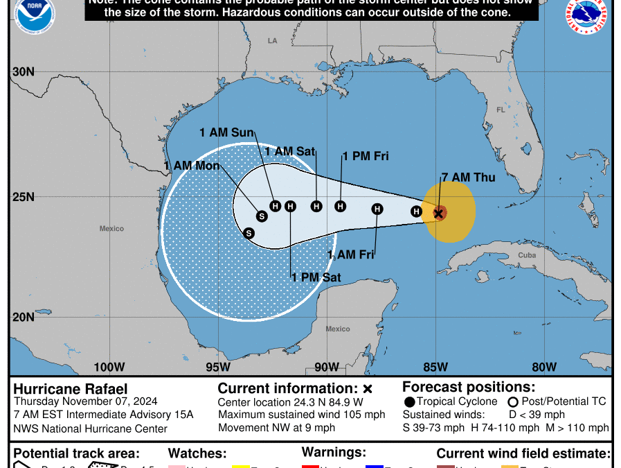
Radar data from Key West and recent USAF mission indicate that Rafael is moving toward the northwest at 9mph over the southeast Gulf of Mexico. Maximum sustained winds are near 105mph although recent satellite images show wind shear starting to impinge on the west side of the system and while the radar presentation still looks good, the overall convective structure is starting to show signs of increasingly unfavorable conditions.
Track:
Rafael is moving northwest, but a turn toward the west is expected today as high pressure over the southwest Atlantic builds westward along the US Gulf coast north of the hurricane. This high will remain in place into the weekend with Rafael moving westward toward the southern and southwest Gulf of Mexico. A secondary high pressure ridge will build into the southern plains this weekend and likely force the system south of due west or even southwest into the southwestern Gulf of Mexico early next week. While there is decent agreement on the general track reasoning and trend, additional adjustments in the forecast track may be needed.
It is rare for a hurricane this late in the season to move due west across the entire Gulf of Mexico…the only such similar instance was hurricane Jeanne from 1980 (Nov 12-15).
Intensity:
Rafael peaked yesterday as a major hurricane just prior to landfall in western Cuba and a slow weakening trend is expected over the next few days. Since Rafael is now expected to remain well south in the Gulf of Mexico where vertical wind shear will be weaker…the weakening trend will be slower and the system will likely maintain hurricane intensity into the weekend. There is significant amounts of dry air that will be surrounding the system and if this is able to enter into the inner core more rapid weakening is possible. Overall Rafael should gradually weaken while moving toward the southwest Gulf of Mexico into early next week.
Texas Tides:
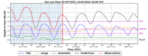
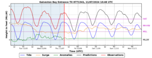
With Rafael expected to reach into the southwest Gulf and maintain a stronger circulation for a longer period of time…large long period swells of 6-10 feet will begin to reach the TX coast this weekend and when combined with NE winds over the local waters…tides will increase into the 3.5-4.0 ft MLLW range (above the barnacle level). This is right on the cusp of coastal flooding thresholds along the upper TX coast and at times of high tide into the weekend some minor coastal flooding may be possible especially on the Gulf facing beaches where elevated wave action will be in place.


